Tiny project - adding useful map layers to finn.no
Recently I’ve been spending a lot of time looking at real estate listings. In Norway, the one stop website for this is finn.no. Over time I’ve realized there’s a couple of things I want to check with every listing that I’m interested in, that I can’t do on the website itself. These include:
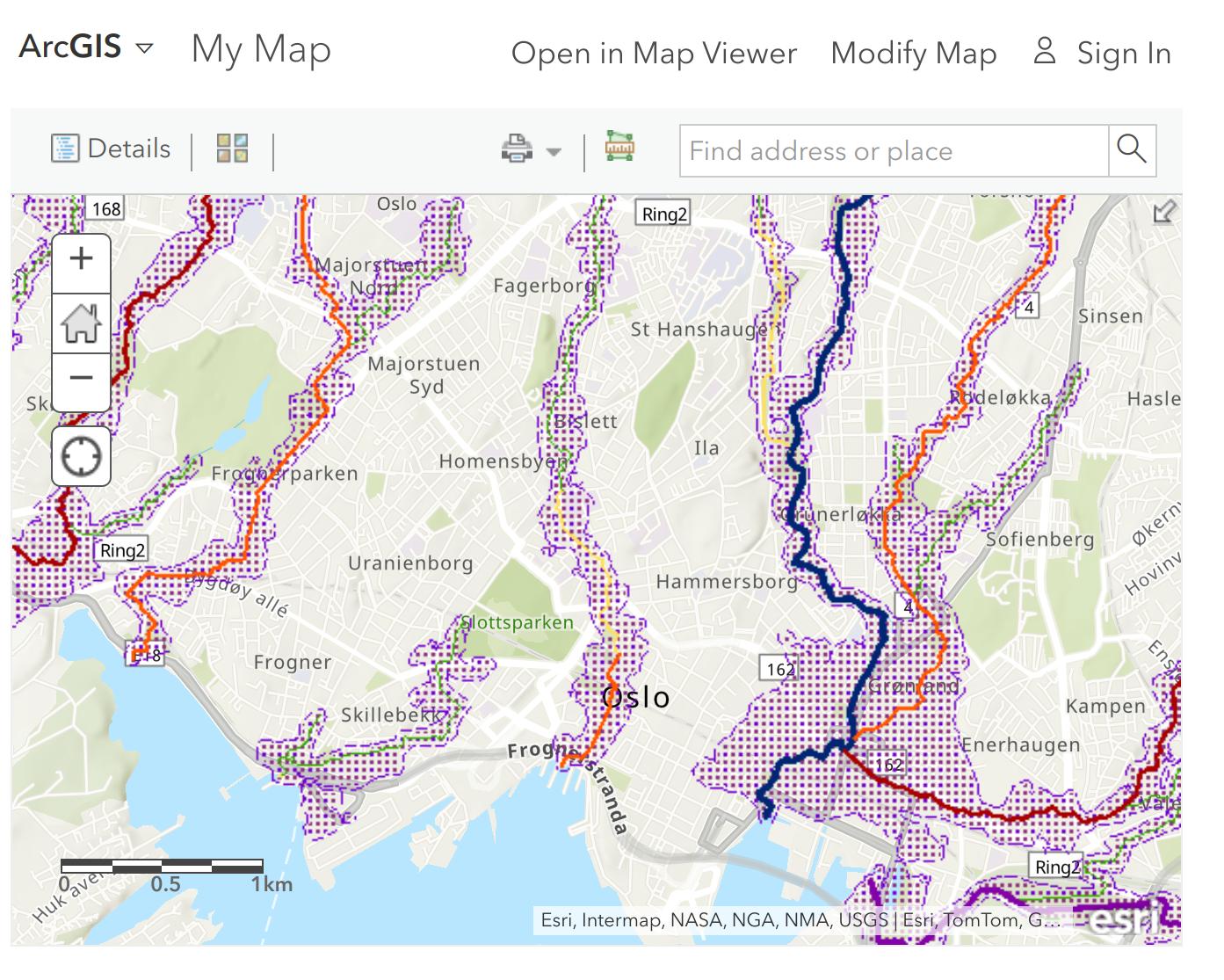
- check if the house is in a potential flood area
- check the noise levels around the house, from road or train
- check the ground type in the area, and especially make sure there is no quick clay
You can find this information using publicly available maps at the Ministry of Environment, the Norwegian Geotechnical Institute and other places. They are also available in a WMS format that can be loaded dynamically using a map viewer like the one available on the ArcGIS website. With this in mind, I thought it would be great to instantly see the map with the important layers centered on the address of the real estate listing, right in the ad.
To do this I made a simple Chrome extension that attaches an iframe of the map to a particular element on the ad page. What’s great about the Map Viewer in ArcGIS is that it can be configured by its url to a large extent - the map layers included, the address search, even the visibility of the side panel - can all be specified as url parameters. With that, all I have to do is construct a url in the extension and display the iframe. You can find the extension on my GitHub if you want to use it yourself.